
The transfer of 1.11 acres (4,509 square metres) of land to the National Highway Authority of India (NHAI) for the construction of Delhi’s new six-lane highway has been approved by lieutenant-governor VK Saxena. This unfinished highway, which is a part of the Bharatmala Pariyojna, will connect a junction along the Jaitpur-Pusta Road section of the NH-148NA with the DND Maharani Bagh. It is a section of a linkage project connecting the Delhi–Mumbai Motorway to the Delhi-Noida Direct (DND) Flyway.… Read more
Creating Livable Cities: Unveiling the Atal Mission for Rejuvenation and Urban Transformation (AMRUT)!
Tags: IndiaInfrastructure

The Atal Mission for Rejuvenation and metropolitan Transformation (AMRUT) was established by the first Narendra Modi-led administration at the Centre with the goal of enhancing the standard of living in India’s metropolitan regions. By pledging 139 lakh water connections, 145 lakh sewer connections, storm water drainage projects, green spaces, and LED lighting, the PM launched the mission in June 2015 with the intention of completing the urban regeneration initiative in 500 cities by FY20.… Read more
NH10: A Mesmerizing Route Connecting Indo-Bangladesh Border to Gangtok!
Tags: Infrastructure

North east India is home to the National Highway-10 (NH10), formerly known as the NH31A, which connects Gangtok to the Indo-Bangladesh border. The length of the NH10 is 174 kilometres (km). The NH10 crosses Sikkim and West Bengal. The NH10 is crucial for easing travel and promoting regional development and is maintained by the National Highways and Infrastructure Development Corporation Limited (NHIDCL).… Read more
From Kolkata to Bangkok: The Impending Reality of the Trilateral Highway!
Tags: Infrastructure

According to media reports, the trilateral highway connecting Bangkok with Kolkata will be operational in the following three to four years, as stated by the ministers of commerce from various nations present at a business conclave hosted by the Indian Chamber of Commerce (ICC) and the ministry of external affairs (MEA).… Read more
Exploring Cable-Stayed Bridges: Innovation and Functionality!
Tags: Infrastructure

In the world of civil engineering and architecture, cable-stayed bridges stand out as iconic structures that blend elegance and engineering prowess. These remarkable bridges have become increasingly popular due to their striking designs and ability to span long distances with efficiency and stability. In this blog post, we will delve into the fascinating world of cable-stayed bridges, exploring their construction, benefits, and notable examples around the globe.… Read more
Exploring the National Highway-16 (NH16): Connecting East and South India!
Tags: Infrastructure

The National Highway-16 (NH16) connects various states, including West Bengal, Odisha, Andhra Pradesh, and Tamil Nadu, as it travels along India’s east coast. Previously known as the National Highway-5, the NH16 connects important cities along its course for trade and transit.… Read more
The Island Connection: Exploring NH4 in Andaman and Nicobar Islands!
Tags: Infrastructure

The National Highway-4, often known as the NH4, is a significant road in the Andaman and Nicobar Islands that connects Port Blair, the islands’ capital, to Diglipur. The Andaman Trunk Road is another name for this 230.7 kilometre long road. It now serves as a vital mode of transportation for people living in the Andaman and Nicobar Islands, linking the major cities and allowing the transfer of necessary commodities and services.… Read more
Coastal Highway Adventure: Road Trip along NH75 from Mangaluru to Vellore!
Tags: Infrastructure
In India, the National Highway-75 (NH75), formerly the National Highway-48, connects the cities of Mangaluru in the west with Vellore in the east. The highway runs across the three Indian states of Karnataka, Andhra Pradesh, and Tamil Nadu for a distance of 862 kilometres (km).… Read more
Flying High: Discovering Chhatrapati Shivaji Maharaj International Airport!
Tags: Infrastructure
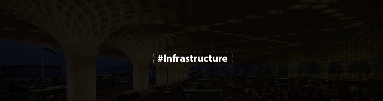
The ‘City of Dreams’, Mumbai, is served by the Chhatrapati Shivaji Maharaj International Airport (CSMIA). Mumbai Airport, formerly known as the “Sahar Airport,” was renamed in 1999 after the Chhatrapati of the Maratha Empire, and the title “Maharaj” was added in 2018.… Read more
Mapping the Future: Exploring the Gurgaon Master Plan 2031 and Its Implications!
Tags: Infrastructure

The Town and Country Planning Department of Haryana’s most current and comprehensive plan to further the city’s overall development is the Gurgaon Master Plan 2031. On February 5, 2007, the plan was originally made public, with a 3.7 million-person population density of 80 people per acre as its aim.… Read more